
01
GPS car tracking
Fleet and service vehicles located live on the same map the operators already use.
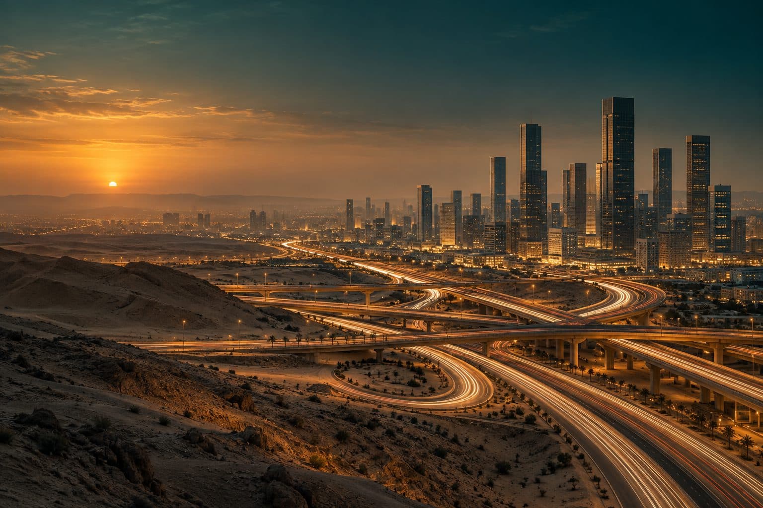
GPS car tracking, traffic management, smart signals, road monitoring and shared mobility — alongside smart parking, digital payments, EV charging and parking guidance.
Mobility and transportation
Fleet and service vehicles located live on the same map the operators already use.
Flows observed across junctions and corridors, not guessed from a timetable.
Signal timing that can respond to conditions on the road.
Incidents and conditions reported into the control room as they happen.
Shared vehicles and services connected to the same city fabric.
Parking and electric vehicles
Bay occupancy sensed and shared, so drivers stop circling.
Directions to the nearest free bay, on signage or in the app.
Chargers metered and managed as part of the energy system.
Parking and charging paid digitally, reconciled centrally.
Connected systems
GPS car tracking, traffic management, smart signals, road monitoring, and shared mobility.
ConnectedSmart parking, digital payments, EV charging, and parking guidance.
ConnectedEnergy monitoring, demand management, and battery storage.
Air quality monitoring, noise monitoring, climate data, and pollution alerts.
Emergency response, surveillance, disaster management, and alerts.
Fiber networks, GSM boosters, public Wi-Fi, IoT networks, and connected infrastructure.
ConnectedBuilding automation, occupancy monitoring, energy efficiency, and facility management.
A unified platform for monitoring systems, coordinating departments, and responding to incidents.
ConnectedAdaptive brightness, fault reporting, and consumption tracked pole by pole.
Fill level sensing so collection routes follow real demand, not a fixed timetable.
Related
Takkah Solutions
Tell us about the site — a villa, a tower, a district or a whole city — and our team will come back to you.